Using satellite imagery to understand the benefits that marine nature reserves provide for society
Home: The Wash and North Norfolk Marine Partnership (WNNMP).
Host: Institute of Estuarine & Coastal Studies (IECS), University of Hull
Project summary
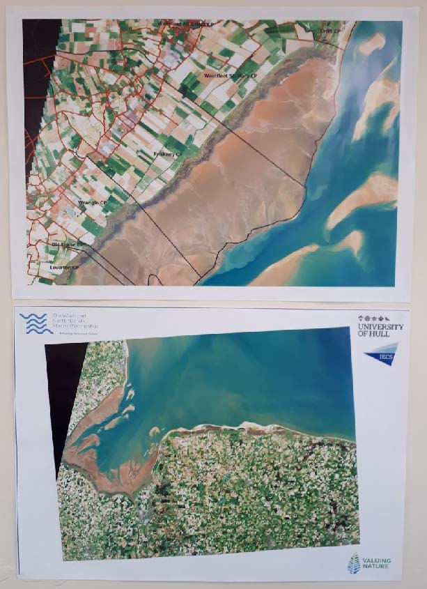
This project aimed to develop tools, skills and resources to enhance the balanced protection of marine nature and culture, with research techniques piloted at The Wash and North Norfolk coast. Satellite tools were used to map regions of saltmarsh and its sub-features. A practitioner’s toolkit has been produced giving an entry level tutorial for the satellite-based classification methods used in this project. A workshop was held with local community saltmarsh specialists to identify saltmarsh sub-features and the benefits provide to society, using satellite imagery. Further work is to develop techniques to objectively compare stakeholder with satellite-based classification schemes. Workshop outputs can be accessed from this report including an interactive PDF for saltmarsh sub-features and societal benefits. Satellite tools provide an easy to use and open-access resource for mapping marine features and are an attractive engagement tool for relationship development across a range of marine management groups and local community members.
Publications available from http://wnnmp.co.uk/publications/
Final presentation (click to watch):